
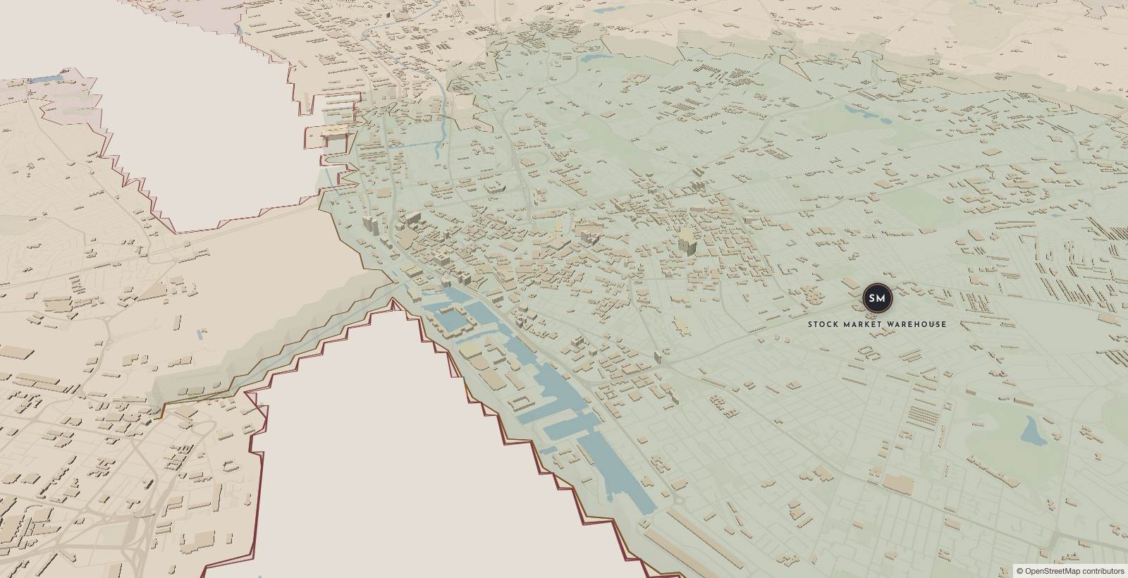
The 3D map couldn’t start on this device. Your postcode answer still works, and it’s the part that matters.
Check your postcode
Zones (indicative)
- Zone 1 · Delivered in under 1 hour
- Zone 2 · Delivered in under 2 hours
- Zone 3 · Delivered in under 3 hours
Where we deliver
Our own vans, our own drivers. Every postcode within 14 miles of the Liverpool warehouse. Measured along real roads, not drawn as a circle, which is why the Wirral is a tunnel away rather than a river away. Zone boundaries are indicative while we finalise them. Check your postcode or ask us.
- Zone 1: 0–4 miles from the warehouse by road. Delivered in under 1 hour.
- Zone 2: 4–8 miles from the warehouse by road. Delivered in under 2 hours.
- Zone 3: 8–14 miles from the warehouse by road. Delivered in under 3 hours.
Your full postcode never leaves your browser
Lookups run against static data files on this site, and the most a file request can reveal is your postcode sector (the “L4 0” part). The exact postcode is never transmitted, and share links use fragments that aren’t sent to any server. Distances are measured along real roads.
Map & routing data © OpenStreetMap contributors, available under the Open Database Licence. Postcode data: Contains OS data © Crown copyright and database right 2026 · Contains Royal Mail data © Royal Mail copyright and database right 2026 · Contains ONS data © Crown copyright and database right 2026 (OGL v3).